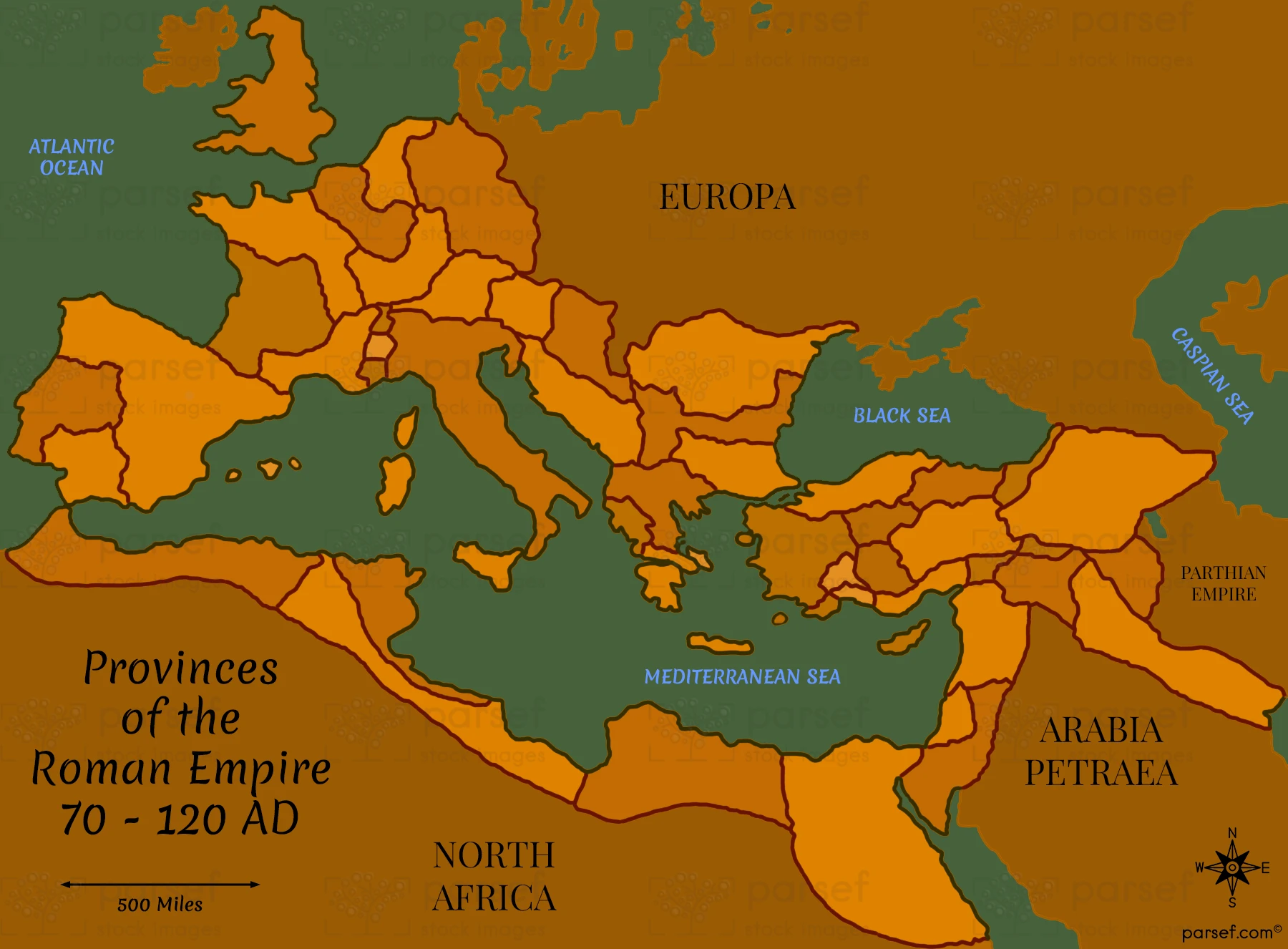
Provinces of the Roman Empire 70 – 120 AD Map

Related Maps
Read More
...
Read More
Read More
Read More
Read More
Read More
Read More
Read More
Read More
Read More
Read More